The Best River Photo Spots around Elbow Falls in Canada
Explore River pictures of Elbow Falls with the travel spots on a map
Download the Travel Map of Canada on Google Maps here
11 River Spots of Elbow Falls on a Map
Pictures of River on the interacive map of Elbow Falls
Download On Google Maps 🗺️📲River Spots and Pictures around Elbow Falls
Discover popular destinations in Elbow Falls with their travel guides
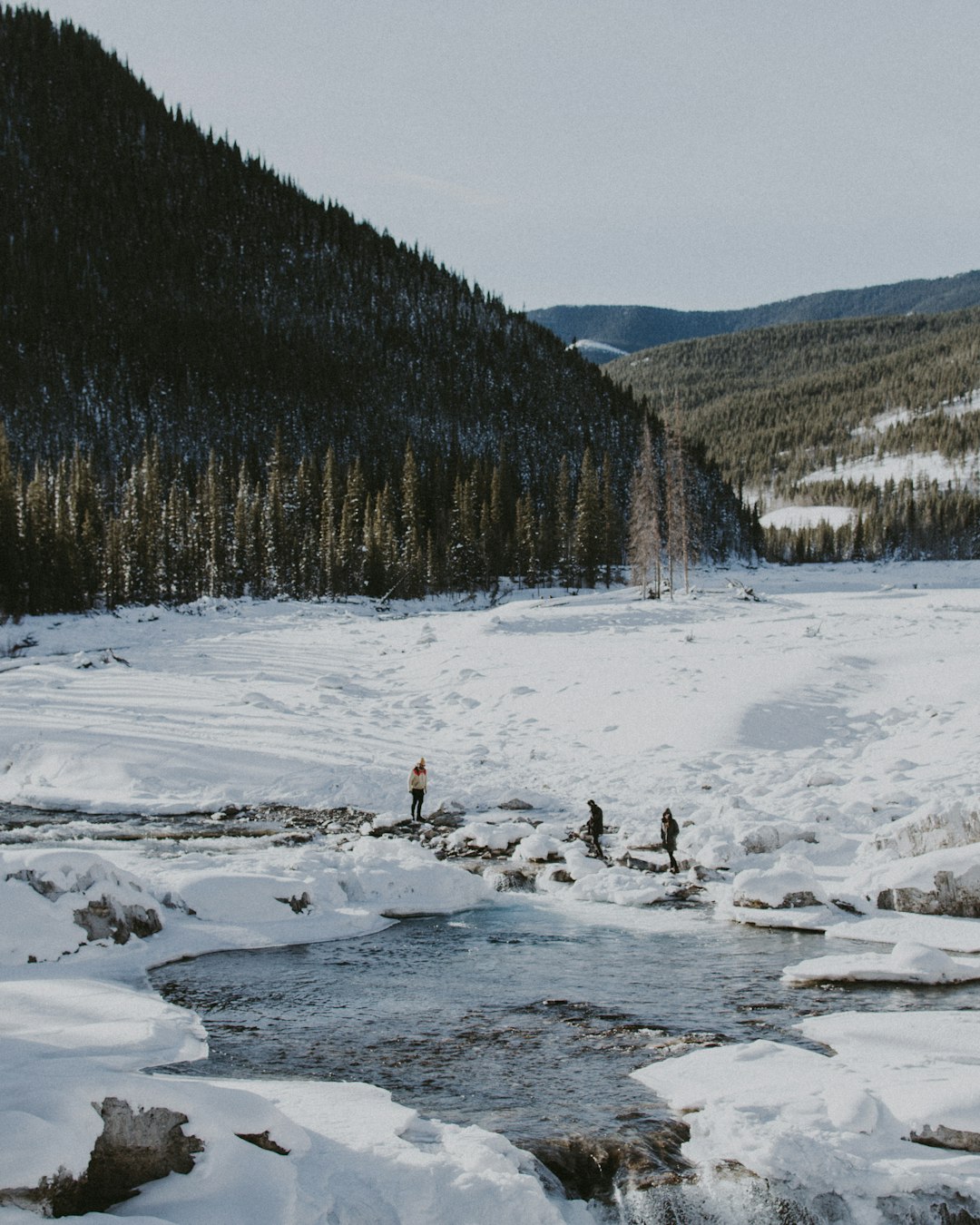
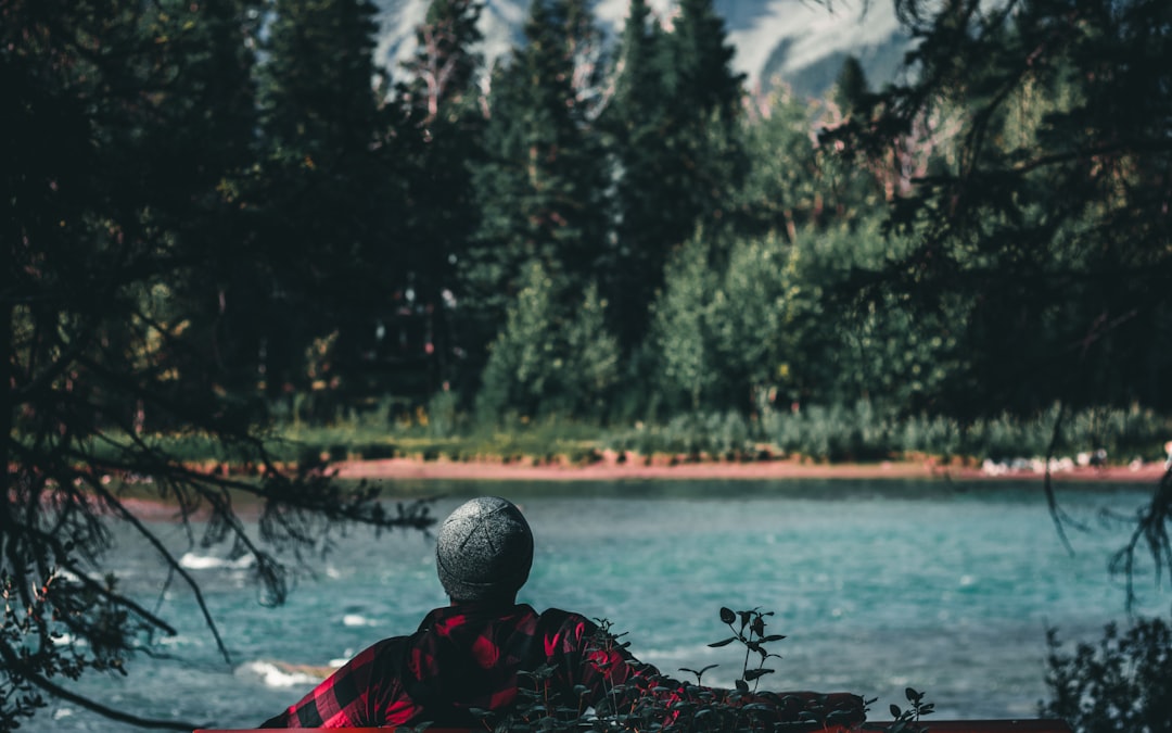
Elbow Falls
Read the Travel guide View on Google Maps
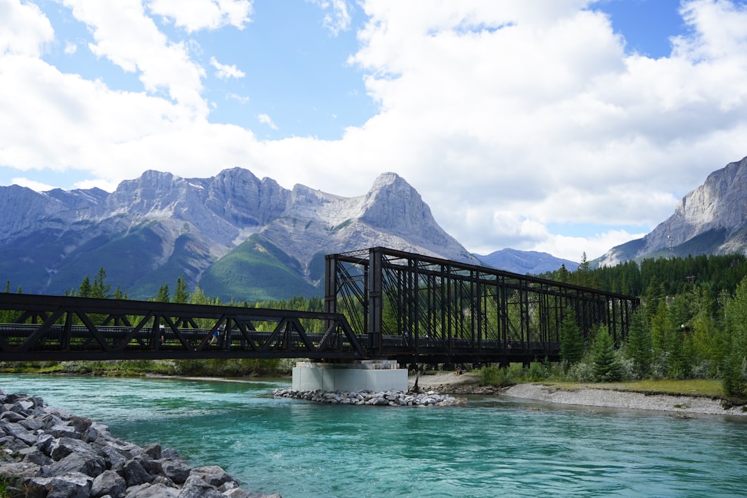
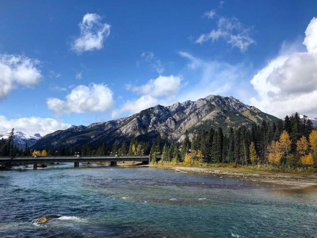
Canmore Engine Bridge
48 km away from Elbow Falls
Read the Travel guide View on Google Maps
317 8 Ave
48 km away from Elbow Falls
Read the Travel guide View on Google Maps
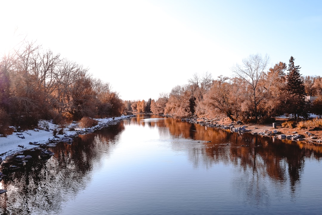
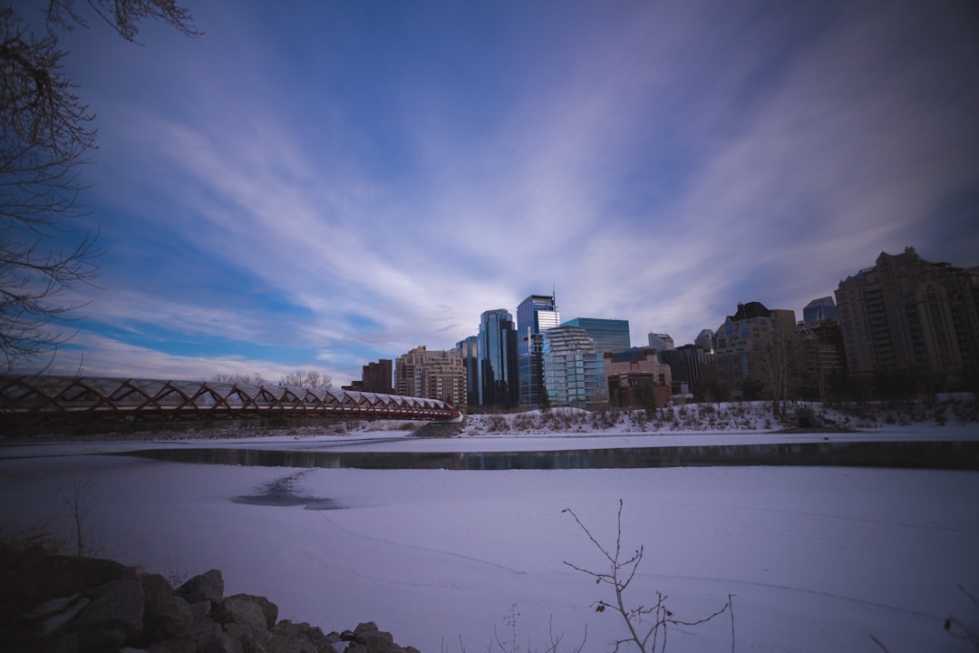
Calgary
53 km away from Elbow Falls
Read the Travel guide View on Google Maps
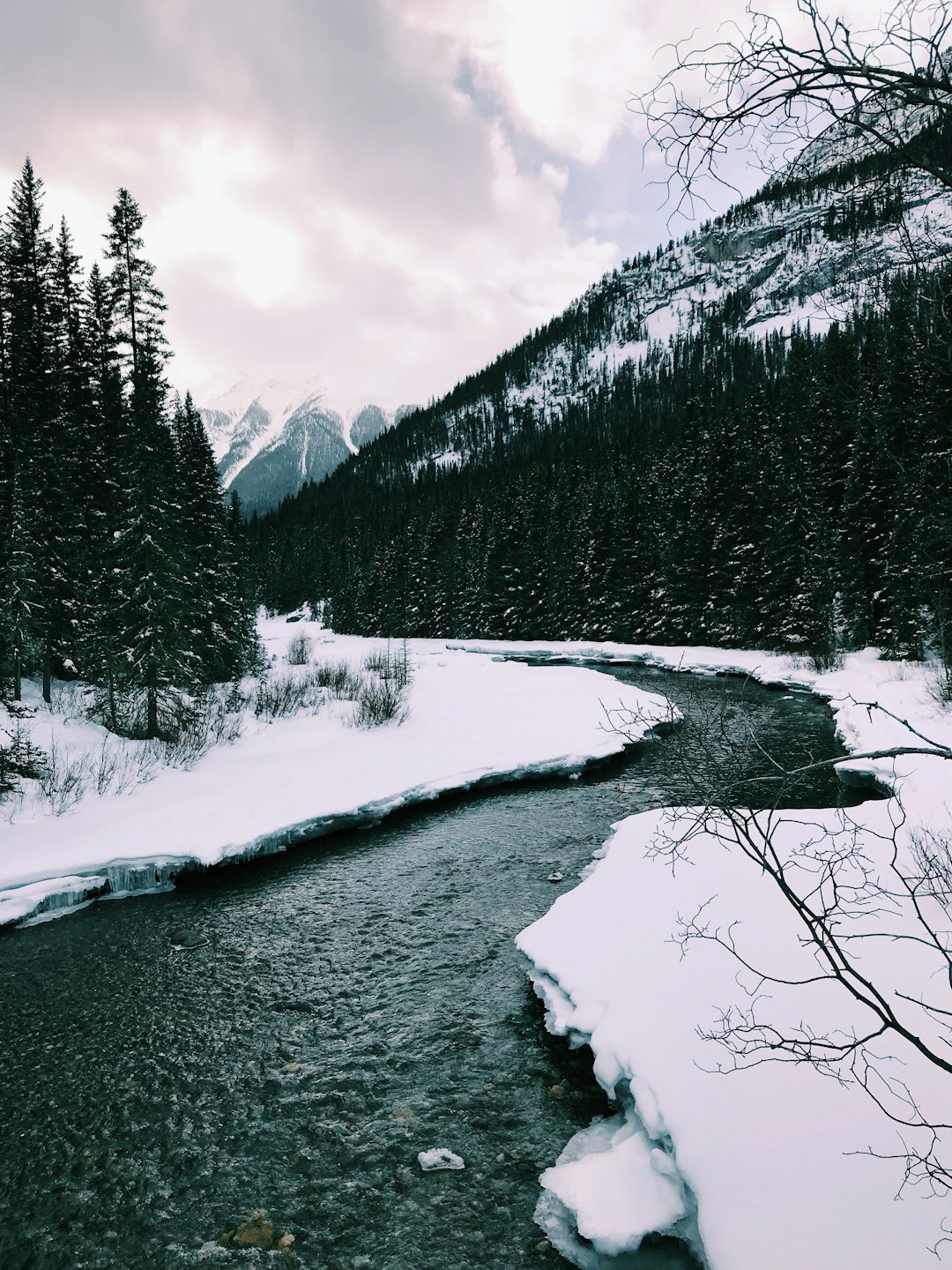
Goat Creek Trail
57 km away from Elbow Falls
Read the Travel guide View on Google Maps
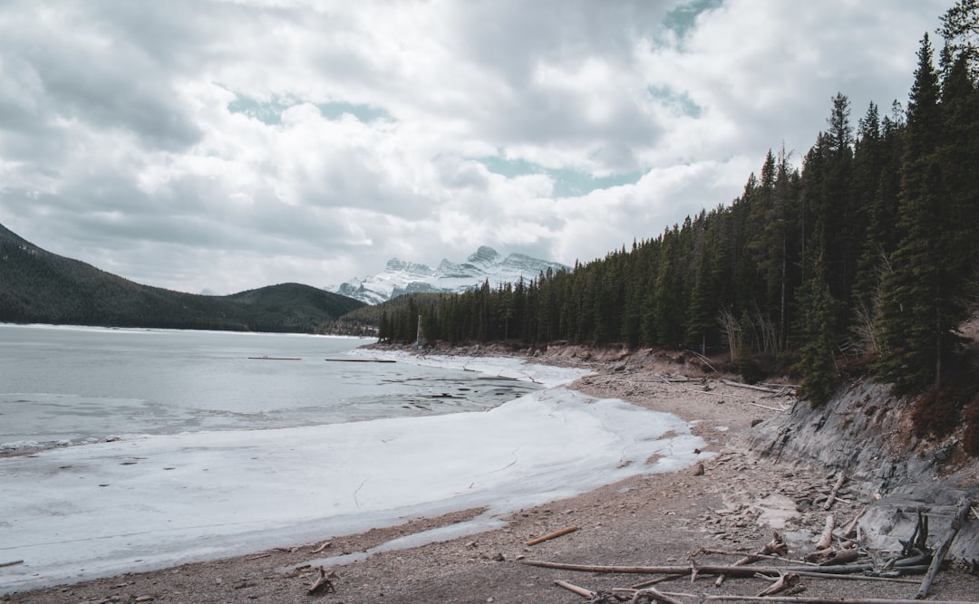
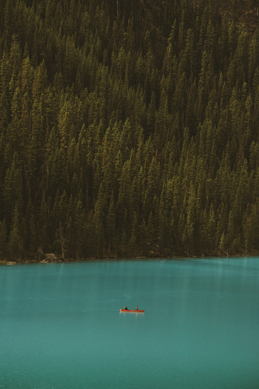
Lake Minnewanka Trail
64 km away from Elbow Falls
Read the Travel guide View on Google Maps
Banff
65 km away from Elbow Falls
Read the Travel guide View on Google Maps
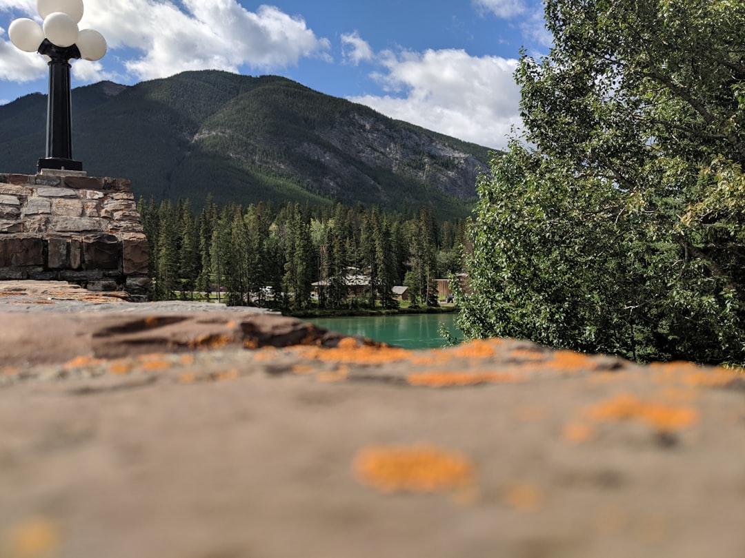
Town Of Banff
65 km away from Elbow Falls
Read the Travel guide View on Google Maps
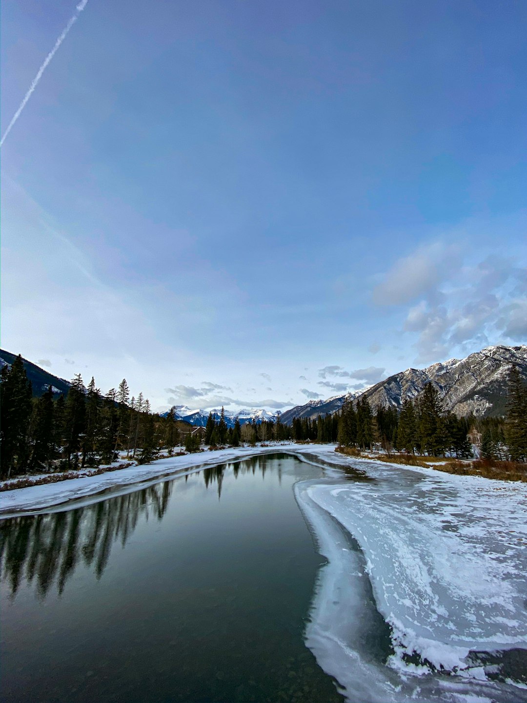
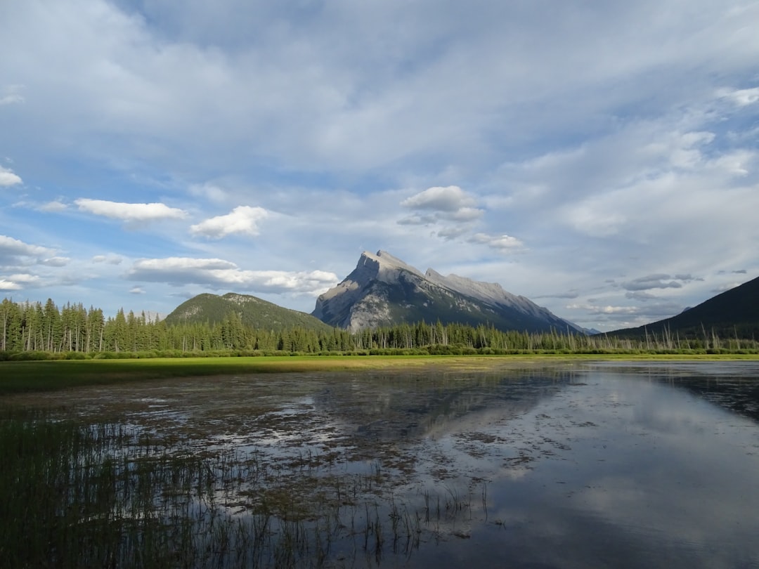
Vermilion Lakes
67 km away from Elbow Falls
Read the Travel guide View on Google Maps
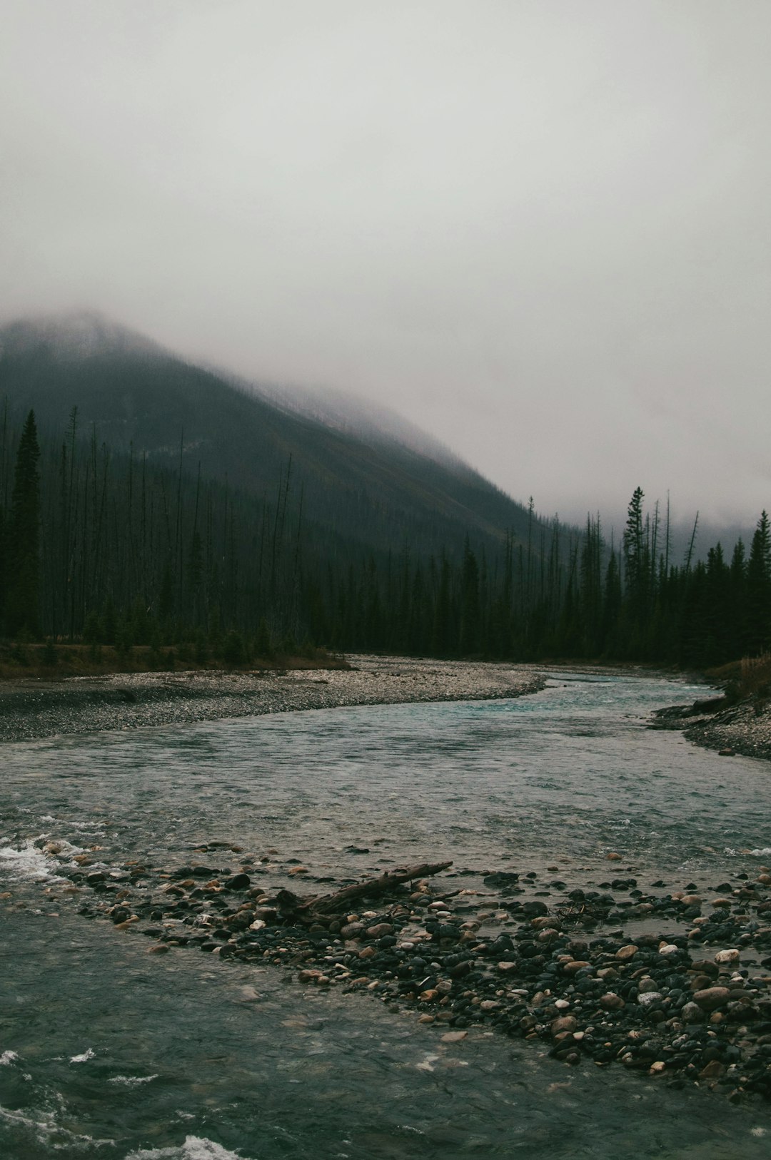
Vermilion Crossing
86 km away from Elbow Falls
Read the Travel guide View on Google Maps
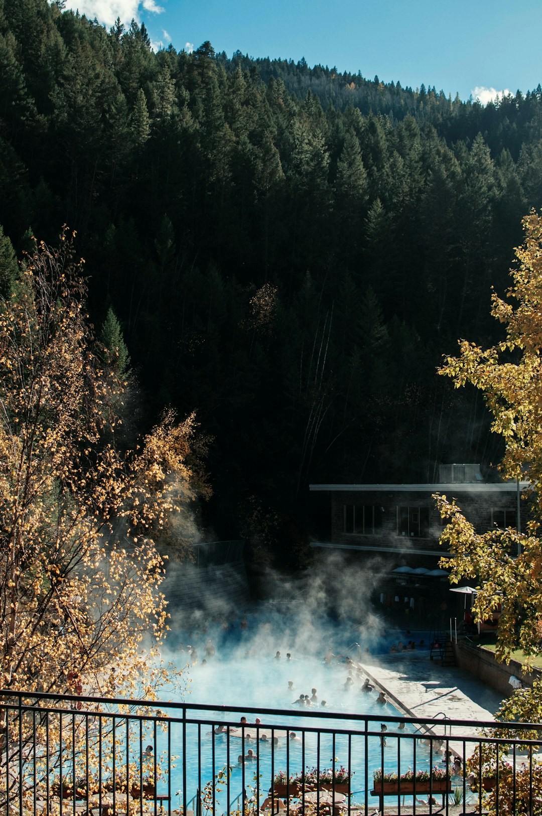
Radium Hot Springs
95 km away from Elbow Falls
Read the Travel guide View on Google Maps
Book your Travel Experience in Elbow Falls
Discover the best tours and activities in Elbow Falls and book your travel experience today with our booking partners
Learn More about Elbow Falls
Find Hotels in Elbow Falls
Discover the best hotels around Elbow Falls, Canada and book your stay today with our booking partner booking.com